Where can you find a 24-hour Turbulence forecast? When planning a flight, pilots need to take into account a variety of factors, including weather conditions. One of the most important weather factors that can impact a flight is turbulence. Turbulence is caused by a variety of factors, including atmospheric pressure, wind shear, and temperature changes. It can be dangerous for both passengers and crew, and can cause damage to the aircraft. As a result, it is important for pilots to have access to accurate turbulence forecasts.

Fortunately, there are a number of resources available to help pilots find 24-hour turbulence forecasts. Some airlines provide turbulence reports to their pilots, while others use third-party services to obtain this information. In addition, there are a number of websites and mobile apps that provide turbulence forecasts for free or for a fee. These resources can be especially helpful for pilots who are planning long flights or who are flying in areas with unpredictable weather patterns.
Related Posts:
Understanding Turbulence

Turbulence is a common phenomenon in aviation that can cause discomfort and even injury to passengers and crew. It is defined as the irregular movement of air that can cause sudden changes in altitude, speed, and direction of an aircraft. Turbulence can be caused by a variety of factors, including atmospheric conditions, wind shear, and proximity to mountains or other obstacles.
Severe turbulence is the most dangerous type of turbulence and can cause significant damage to the aircraft. It is characterized by sudden, violent jolts that can throw passengers and objects around the cabin. Pilots always try to avoid severe turbulence by adjusting their altitude or changing their course.
To forecast turbulence, meteorologists use a variety of tools and techniques. One of the most important is the use of weather radar to detect areas of convective activity, which can indicate the presence of turbulence. In addition, pilots can report turbulence to air traffic control, which can then be relayed to other pilots in the area.
It is important to note that turbulence cannot always be predicted or avoided. However, there are steps that passengers can take to minimize the risk of injury during turbulence. These include wearing a seatbelt at all times, stowing loose objects, and following the instructions of the flight crew.
Overall, turbulence is a natural and unavoidable aspect of air travel. By understanding the causes and characteristics of turbulence, passengers can be better prepared to deal with it when it occurs.
Importance of Turbulence Forecasts
Turbulence is a significant concern for pilots and passengers alike. Turbulence can cause discomfort, injuries, and even structural damage to aircraft. Turbulence forecasts are essential tools for pilots to plan their routes and avoid areas of potential turbulence.
Turbulence forecasts are generated by meteorologists using data from weather satellites, aircraft reports, and computer models. These forecasts provide pilots with valuable information about the location, severity, and duration of turbulence along their planned flight path.
By using turbulence forecasts, pilots can make informed decisions about their flight plans. They can choose to fly at a higher or lower altitude, change their route, or delay their flight to avoid areas of turbulence. This not only ensures the safety and comfort of passengers but also helps to reduce the risk of damage to the aircraft.
Passengers may not be aware of the importance of turbulence forecasts, but they can benefit greatly from them. By avoiding areas of turbulence, pilots can provide passengers with a smoother and more comfortable flight experience. This can help to reduce anxiety and fear of flying, making air travel a more enjoyable experience for all.
In conclusion, turbulence forecasts are crucial tools for pilots to ensure the safety and comfort of their passengers. By providing accurate and timely information about turbulence, pilots can make informed decisions about their flight plans and avoid potential hazards. Passengers can also benefit from turbulence forecasts by experiencing a smoother and more enjoyable flight.
Sources for 24-Hour Turbulence Forecasts
There are several sources where one can find 24-hour turbulence forecasts. These sources include the National Oceanic and Atmospheric Administration (NOAA)/National Weather Service (NWS), Turbli, and METAR.
NOAA/NWS provides turbulence forecasts for the United States and its territories. These forecasts are updated every six hours and cover the next 24 hours. They are based on data from weather balloons, satellites, and aircraft reports.
Turbli is a website that provides turbulence forecasts for various regions around the world. The forecasts are updated every six hours and cover the next 24 hours. Turbli uses data from weather models and aircraft reports to generate its forecasts.
METAR is a format used by meteorological agencies to report weather conditions at airports. Some airports include turbulence information in their METAR reports. Pilots can access these reports to get an idea of the turbulence they might encounter during their flight.
It is important to note that turbulence forecasts are not always accurate. They are based on weather models and data from various sources, which can sometimes be incomplete or outdated. Pilots should always use their own judgment and experience when flying in turbulent conditions.
Related Posts:
Reading a Turbulence Forecast
When reading a turbulence forecast, it is important to understand the different indicators and how they relate to potential turbulence. Here are some key elements to keep in mind:
Turbulence Map
The turbulence map is a visual representation of the expected turbulence levels in a given area. The map is color-coded, with red indicating the highest levels of turbulence and green indicating the lowest. Pilots should pay close attention to the colors on the map and plan their routes accordingly.
Red Areas
Red areas on the turbulence map indicate the highest levels of turbulence. Pilots should avoid these areas if possible, as flying through them can be dangerous. If it is necessary to fly through a red area, pilots should take extra precautions and be prepared for sudden changes in altitude.
GTG
GTG, or “Going Through Gradients,” is a term used to describe the process of flying through areas of varying turbulence levels. Pilots should be aware of any GTG areas on their route and be prepared for changes in altitude and airspeed.
Overall, reading a turbulence forecast requires a solid understanding of the different indicators and how they relate to potential turbulence. Pilots should take the time to carefully review the forecast and plan their routes accordingly.
Personalized Turbulence Forecasts
For those who want a more personalized turbulence forecast, there are a few options available. One option is to check with the airline that the flight is booked with. Many airlines have their own turbulence forecasting systems and can provide passengers with information about expected turbulence on their specific flight route.
Another option is to use a third-party service that provides personalized turbulence forecasts. One such service is Turbulence Forecast, which uses data from multiple sources, including satellite and radar data, to provide customized forecasts for individual flights. Users can enter their flight route and departure time to receive a detailed turbulence forecast for their specific flight.
It is important to note that while personalized turbulence forecasts can provide valuable information, they are not always 100% accurate. Turbulence can be unpredictable and can occur even when not forecasted. Passengers should always follow the instructions of the flight crew and keep their seatbelts fastened when seated, regardless of any turbulence forecasts.
In the US, the Federal Aviation Administration (FAA) provides turbulence information through its Aviation Weather Center website. The website offers various turbulence products, including graphical turbulence guidance and turbulence advisories, to help pilots and airlines make informed decisions about flight routes and altitudes.
Overall, personalized turbulence forecasts can be a useful tool for passengers looking to prepare for potential turbulence on their flight route. However, it is important to remember that turbulence can be unpredictable and to always follow the instructions of the flight crew.
Turbulence and Weather Patterns
Turbulence is a common occurrence in aviation that can be caused by various weather patterns. Thunderstorms, strong storms, and heavy rain can all cause turbulence. The severity of turbulence depends on the intensity of the weather pattern and the altitude at which the aircraft is flying.
One of the most significant weather patterns that can cause turbulence is the jet stream. The jet stream is a high-speed wind that flows from west to east in the upper atmosphere. It can cause turbulence when an aircraft flies into it or when it encounters turbulence generated by the jet stream.
Thunderstorms are also a significant contributor to turbulence. The updrafts and downdrafts in thunderstorms can cause severe turbulence, making it difficult for pilots to maintain stability. Pilots can avoid thunderstorms by using weather radar and flying around them.
Rain can also cause turbulence, especially when it is heavy or accompanied by strong winds. Raindrops can cause turbulence when they hit the aircraft, and strong winds can cause the aircraft to be buffeted around.
In conclusion, turbulence is a common occurrence in aviation that can be caused by various weather patterns. Thunderstorms, storms, rain, and the jet stream are all significant contributors to turbulence. Pilots can use weather radar to avoid thunderstorms and fly around them.
Turbulence and Altitude
Turbulence is a common phenomenon that can occur during a flight. It is caused by changes in air pressure, temperature, and wind speed. Turbulence can be minor or severe and can affect the comfort of passengers and the stability of the aircraft.
Altitude plays a significant role in the occurrence of turbulence. Generally, turbulence is more common at lower altitudes, where the air is denser and more turbulent. As the aircraft climbs to higher altitudes, the air becomes thinner and smoother, reducing the likelihood of turbulence.
However, turbulence can still occur at higher altitudes, particularly around mountain ranges or during storms. Pilots can use weather radar and other tools to avoid turbulence and adjust their altitude accordingly.
Different flight routes can also affect the likelihood of turbulence. For example, flights over the Pacific Ocean tend to experience less turbulence than flights over the Atlantic due to differences in weather patterns and wind speeds.
In summary, turbulence is a common occurrence during flights that can be affected by altitude and flight routes. Pilots use various tools and techniques to avoid turbulence and ensure a safe and comfortable flight for passengers.
Reporting Turbulence
When it comes to reporting turbulence, pilots play a crucial role. They are responsible for reporting any turbulence they encounter during their flight to the appropriate authorities. This information is then used to create a turbulence forecast that can help other pilots avoid turbulence in the future.
Pilots can report turbulence using a PIREP (Pilot Report). A PIREP is a report made by a pilot that includes information about weather conditions, including turbulence, icing, and thunderstorms. PIREPs are transmitted to air traffic control and then disseminated to other pilots in the area.
In addition to PIREPs, there are other ways to report turbulence. For example, airlines can use their own internal reporting systems to track turbulence and share information with other airlines. Some airlines also use automated systems that gather data from sensors on board the aircraft to detect turbulence and transmit that information to the ground.
Overall, the key to reporting turbulence is to ensure that the information is accurate and timely. Pilots and airlines must work together to share information and create a comprehensive picture of the current weather conditions. By doing so, they can help ensure the safety of all flights and passengers.
Turbulence and Icing Conditions
When it comes to flying, turbulence and icing conditions are two of the most significant weather hazards that pilots face. Turbulence refers to the irregular movement of air that can cause a plane to shake, bounce, or jolt. It can occur in clear air or be associated with thunderstorms, and it can range from light to severe.
Icing conditions, on the other hand, refer to the formation of ice on an aircraft’s surface, which can reduce lift and increase drag. Icing can occur in clouds, precipitation, or even in clear air, and it can be particularly dangerous if it forms on the wings, where it can disrupt the airflow and cause loss of control.
To avoid these hazards, pilots rely on weather forecasts that provide information about the likelihood and severity of turbulence and icing conditions. The forecasts can be obtained from a variety of sources, including the National Weather Service, commercial weather services, and aviation-specific providers such as the Aviation Weather Center.
In addition to forecasts, pilots can also use real-time reports from other aircraft to help them avoid areas of turbulence and icing. These reports, known as PIREPs (Pilot Reports), provide information about weather conditions that pilots have experienced firsthand.
Overall, it is essential for pilots to stay informed about turbulence and icing conditions and to take appropriate measures to avoid them. By staying up-to-date on weather forecasts and using PIREPs when available, pilots can help ensure a safe and smooth flight for themselves and their passengers.
Satellite and Radar Data
One of the most reliable sources of information for turbulence forecasts is satellite and radar data. These technologies provide real-time updates on weather patterns, including turbulence, which can help pilots plan their routes accordingly.
Satellite data can be particularly useful for predicting turbulence in areas that are difficult to monitor with traditional radar systems. Satellites can detect changes in atmospheric conditions, such as temperature and wind speed, which can indicate the presence of turbulence.
Radar data, on the other hand, can provide more detailed information on turbulence in a specific area. Doppler radar, for example, can detect the movement of air particles and identify areas of turbulence based on changes in velocity.
By combining satellite and radar data, meteorologists can create more accurate turbulence forecasts. Pilots can access this information through a variety of sources, including aviation weather websites and mobile apps.
It is important to note that satellite and radar data are not foolproof and should be used in conjunction with other sources of information, such as pilot reports and air traffic control updates. However, these technologies can be a valuable tool for pilots looking to avoid turbulence and ensure a safe and comfortable flight.
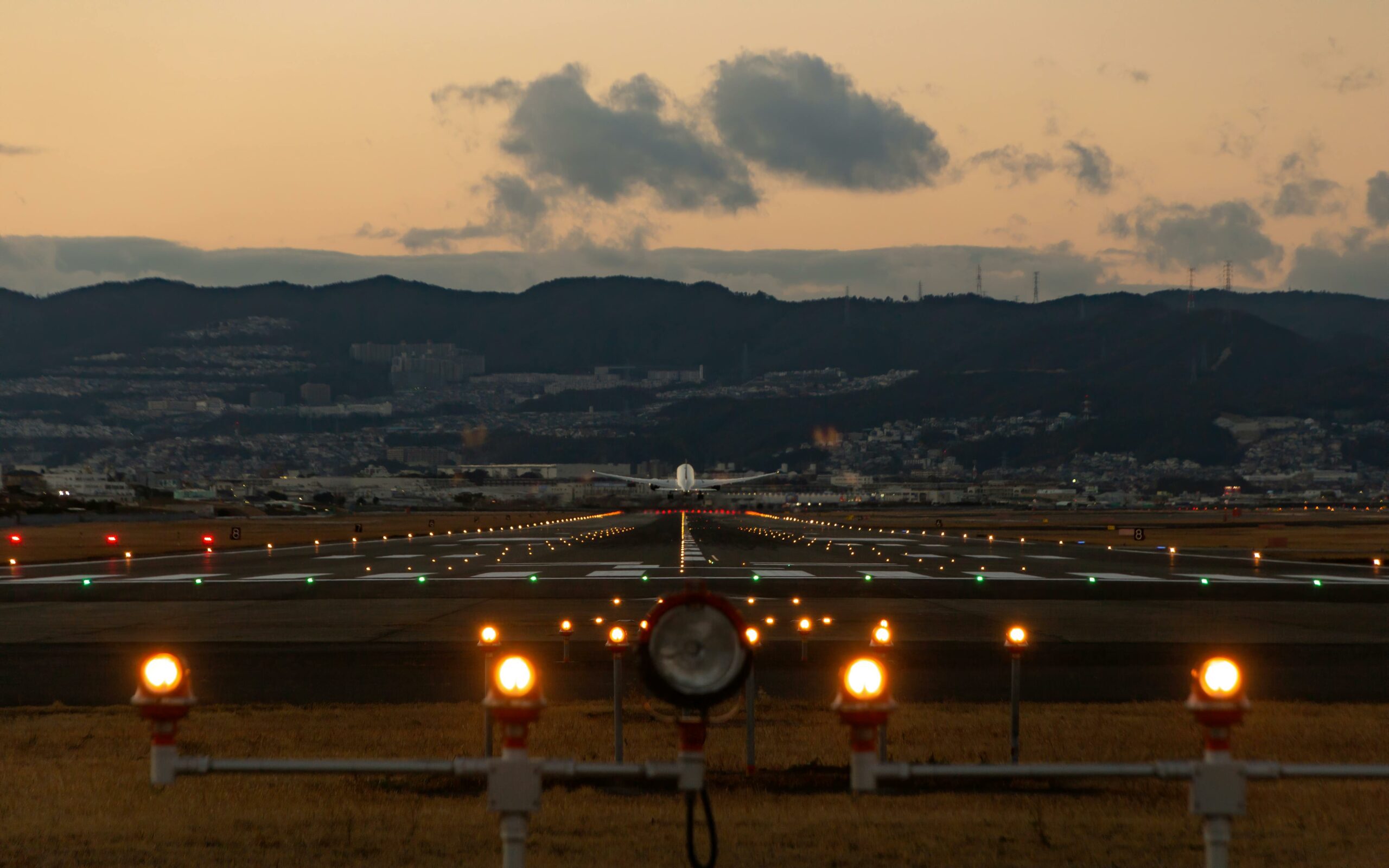
Land and Takeoff in Turbulent Areas
When flying in turbulent areas, landing and takeoff can be particularly challenging. Pilots must be aware of the current turbulence conditions and adjust their approach accordingly.
One important factor to consider is the wind direction and speed. Strong crosswinds can make it difficult to maintain control of the aircraft during takeoff and landing. Pilots may need to use specialized techniques, such as crabbing or wing-low techniques, to keep the aircraft aligned with the runway.
In addition to wind conditions, pilots must also be aware of any potential turbulence in the area. Turbulence can be caused by a variety of factors, including weather patterns, terrain, and other aircraft. By monitoring turbulence forecasts and weather reports, pilots can prepare for potential turbulence and adjust their approach as needed.
To help ensure a safe landing or takeoff in turbulent areas, pilots may also choose to use specialized equipment, such as wind shear detectors or turbulence avoidance systems. These tools can provide real-time information about wind and turbulence conditions, allowing pilots to make informed decisions about their approach.
Overall, landing and takeoff in turbulent areas requires careful planning and preparation. By staying informed about current conditions and using specialized techniques and equipment as needed, pilots can help ensure a safe and successful flight.